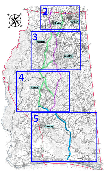
Southern Corridor Selected Alternative
The Selected Alternative, as approved in the Record of Decision, is shown in the map (figure 1). This map uses the County road maps in the Study Area. You can explore specific map details by clicking on the relevant link listed under the Maps section for your area of interest.
Maps
List numbers correspond with numbers on the I-73 South Selected Alternative map (figure 1).
Legend
- Right-of-Way Limits
- 2,500 Foot Study Corridor
- Study Area Boundry
- County Line
- Southern Project Selected Corridor
I-73 South Selected Alternative